From the amazing team at Stamen design, a gorgeous new way to view maps of your area. Go to MapStack, select “Watercolor” from the drop-down, and type in your city or address. So cool.
How to Get Lat/Long Coordinates from iOS/Android
Recently I needed to obtain the specific coordinates of a point on the earth’s surface, and didn’t have my hiking GPS handy. Turns out you can do this pretty easily from iOS using either Apple or Google Maps, neither of which reveal coordinates directly. This technique assumes you can get to a desktop computer later, and should work just as well with Google Maps from an Android device.
1) Using Apple or Google Maps, press and hold on the location until a pin is dropped. Tap on the pin’s details to find its “Share” feature, and send the new location to your own email address.

2) From your desktop computer, click the link in the email you receive to open it in Google Maps.

3) In the browser, right-click on the pin and select “What’s Here?” from the menu.

4) The Location field in Google Maps changes from a human-friendly rendering to lat/long.

Presto!
Of course, there are any number of 3rd-party apps you could use to get coordinates directly from the phone – this is assuming you don’t have one of those and just need a quick solution.
Havey Canyon Trail
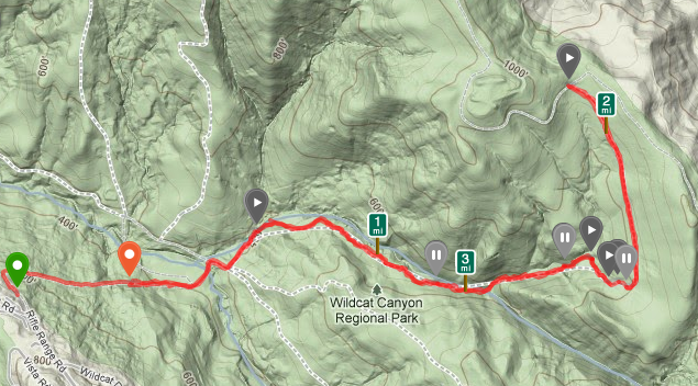
We call the Havey Canyon Trail (hills above Berkeley, CA) hike our “reverse” hike because it starts at the top of a valley, descends quickly and steeply into Wildcat Canyon, then slowly up the other side of the canyon. Coming back, you end your hike with a major steep climb (most hikes start at the base of a hill, and you end by coming down).
The elevation map ends up looking kind of crazy.

Wonderful evening out with Amy, Miles and a friend doing this regular favorite of ours. Just four miles round-trip, but pretty strenuous on account of all the up/down.
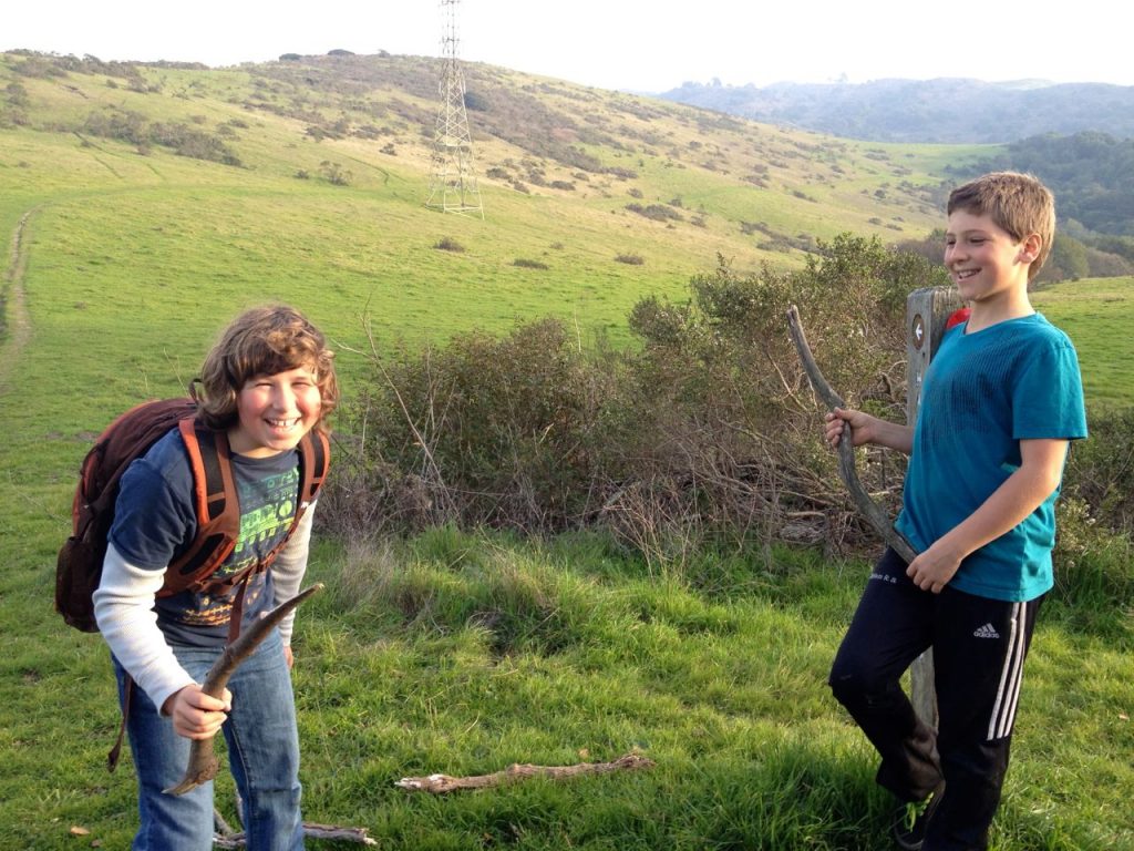
The kids had a great time talking their way through an imaginary “Hunger Games” type world/scenario (they were from the “poison” district).
Little Farm –> Alvarado
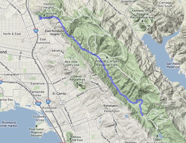
A while ago, Miles and I discovered that the fire road leading from Little Farm in the Berkeley Hills led all the way to Alvarado Park (a wonderful old WPA park) in Richmond, near his school – around seven miles through winding, rolling hills. After working out a detour for the section that doesn’t allow bikes, invited a bunch of parents and their kids to gather for a multi-family ride, which happened yesterday in absolutely gorgeous post-Thanskgiving weather.
Generally downhill on the way there, generally uphill on the way back, kids only had to get off and push a couple of times – was so proud of them for having the gumption to go for it and complete the 14-mile RT. Wildcat Canyon Trail still a bit muddy from recent rains, but getting mud stripes up our backs just added to the fun. Such a fantastic way to start the day, and way more fun than fighting crowds in the Black Friday scene.
None of my photos came out that great, but did manage to capture a usable GPS track. Here’s the live version.
Group photo by Rachel Hollowgrass:
Vancouver Island 2012
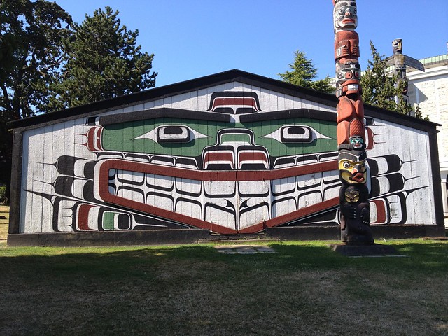
Spent 10 days in the Pacific Northwest in August 2012, traipsing around Vancouver Island with family. Blessed and blissed with fantastic weather and more natural beauty in a week than anyone has a right to. Old growth forests and craggy cliffs, a wild sea full of salmon, sea lions, humpback whales, otters. Sea kayaking, touring through the Broken Group islands, hiking some of the most amazing trails I’ve ever witnessed. One peak experience after another.
Vancouver Island may be an island, but it’s a big island – it was ambitious of us even to try and circle its lower half in a week. And distances are longer than you think, with one-lane roads being the norm, as well as frequent closures for maintenance, accidents, etc. If we had it to do over, we’d probably cut  a couple  cities out of the itinerary and stay put more. But we did get a great “Whitman’s sampler” overview of what the island has to offer.
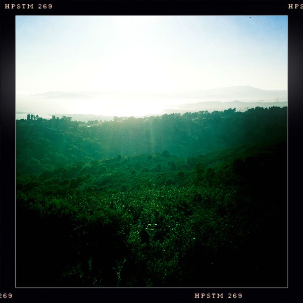
Once again frustrated by the quality of smartphone photos in forest conditions, but managed to salvage a hundred or so keepers. This is the last time I’ll do a major trip with just an iPhone for a camera. The convenience is tops, but Apple just can’t seem to solve the forest/greenery problem.
I’ve scattered a few images from the trip into this post – check the Flickr set for more (slideshow option).
Continue reading “Vancouver Island 2012”
Hike Gone Wrong
Miles and I decided to try hiking down from Inspiration Point (Wildcat Canyon) to San Pablo Dam today. Looked easy enough on the map – a nice wide trail curved its way right on down. Less than two miles, ending in a nice waterside retreat, so only packed one liter of water for the two of us (thought I’d refill at the bottom before the climb back up).
El Caminito del Rey
"El Caminito del Rey (English: The King's little pathway) is a walkway, now fallen into disrepair, pinned along the steep walls of a narrow gorge in El Chorro, near Ãlora in the province of Málaga, Spain. The name is often shortened to Camino del Rey (English: King's pathway)."
Reshared post from +Kevin Bourrillion
An old favorite. You haven't
liveddied a thousand gruesome deaths inside your mind until you've seen this video.
Google+: View post on Google+
Added to my Bucketlist! (check the amazing videos there).
Abandoned Cabins
Wonderful day hiking backwoods Pioneer, CA with Dad, where we discovered an old abandoned cabin in the woods. Appeared to have been built in the 1920s and last occupied in the 1960s. Haunting, sad, beautiful, and scattered through with interesting junk. A poster showing all the presidents shows that JFK was still in power when someone last lived there. Outdoor shower powered by old riveted boilers, an unopened box of Kleenex from the 1950s, spiderwebs coming out of the taps, a dead bat in the sink… the place was visually amazing.
El Cerrito Double Valley
After four Saturday hours in the chair working on the intranet for my son’s school, couldn’t stand watching the sunshine go by outside and threw myself into the hills.
Discovered a secret route a while ago, down to the bottom of Wildcat Canyon from El Cerrito. Decided to take it further and head back up the other side, along the ridge, and back down near Little Farm. Pushed it hard – six miles in two hours, 1300 feet of climbing total, moved through three totally different landscapes: Eucalyptus groves, summertime California chaparral, dense oak forest. Ended up at the stone circle lookout at the top before descending – religious moment. Took headphones but never used them – just needed time to be quiet in nature. On hikes like these, I like to be unencumbered if possible. That means loading up on water before I go and returning thirsty, so I don’t have to take a water bottle with. Something about not taking a backpack makes the trip more of a float, less of a lug.
There are so many amazing trails through the East Bay hills, you could spend a lifetime exploring them. Can see myself growing old as a Bay Area trail rat.
Elevation map:

Animated route, with stats:
Mt. Tamalpais, West Point Inn
Absolutely glorious day hiking Mt. Tamalpais with family yesterday. Started at the peak, heading up to the old fire lookout station first for 360 degree views of the entire Bay Area first, then wound our way down on Fern Creek trail – so steep our thighs turned to rubber by the time we made it to the main fire road. From there, North 1.5 miles to the West Point Inn, which was once a thriving mountain getaway when the Gravity Railway served it until 1942. When the railway was decommissioned, maintenance of the Inn was taken over by volunteers, who have run it ever since. Beautiful piece of history nestled into the Bay Area’s greatest view spot. Apparently you can still spend the night in the cabins here! Ate our picnic lunch of macadamia nuts and peanut butter sandwiches and headed back. All told, just a 4-5 mile loop, but we were pooped! Did a bit of geocaching along the way.


