Old Growth

Redwoods    Bone

After a waffle breakfast with friends, spent Father’s Day with Miles and Amy at Redwood Regional Park, hiking down to the valley floor to get up close and personal with giant old growth redwoods. Not quite Muir Woods scale, but utterly spectacular. Found a small handful of geocaches along the way, including one locked deep inside a cow femur, which just added to the “dinosaurs have walked this path” atmosphere of the day. At one point near the valley floor, just a few dreamy rays of light were left penetrating to the forest floor. Miles started to get scared, convinced there were ghosts in the trees. Ascending 1,000 feet or so out of there was a much-needed workout, rewarded with eventually walking up and out of the canopy into broad daylight.

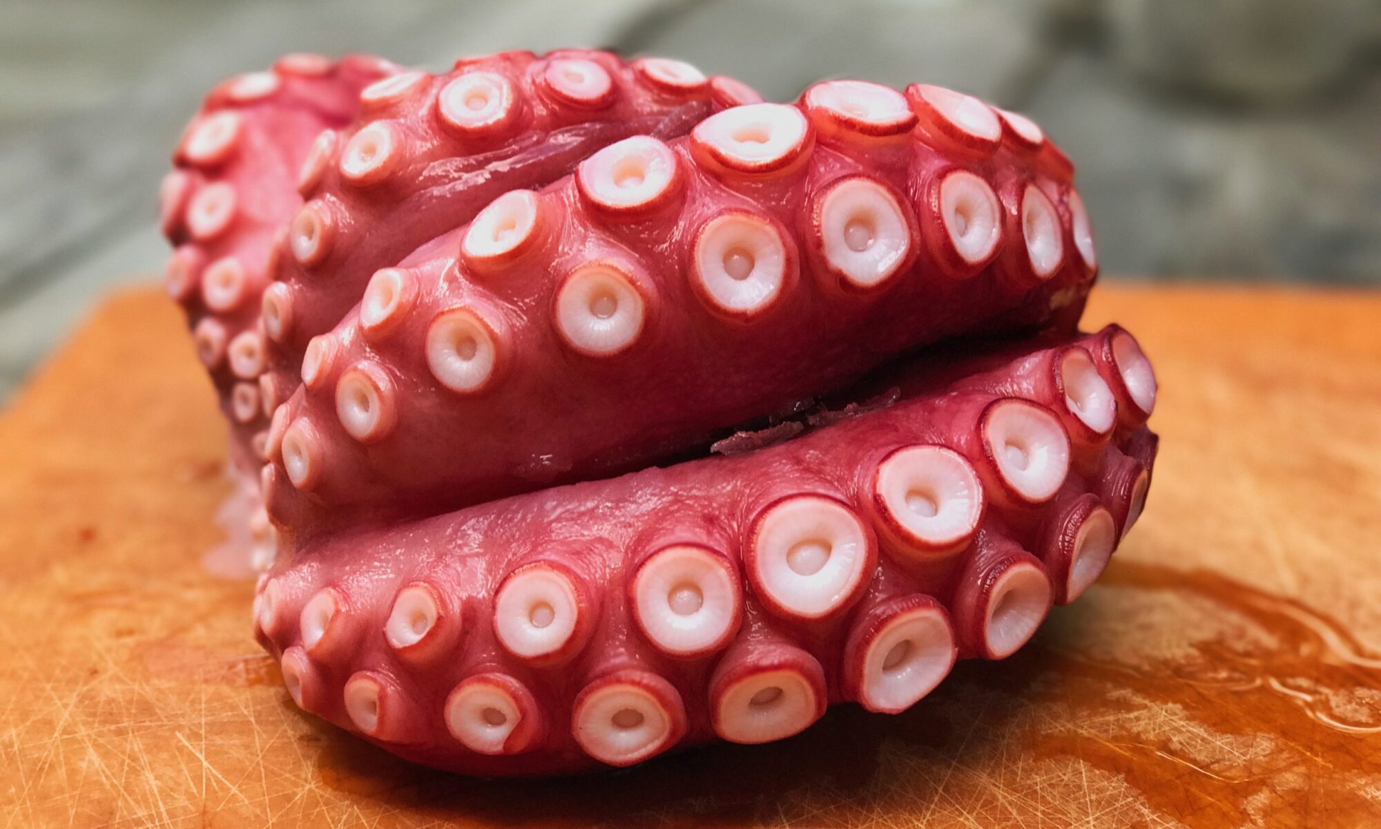
Later quenched our appetites at a local sushi bar — a landmark moment for us to be able to go to a restaurant without a kids menu. Stuffed myself on crab and avocado, then chili-infused dark chocolate (didn’t get the chocolate-covered ants I had wanted, but lightly salted Aztec Chili chocolate tiles are complex and dreamy). A glorious day. I love my family.

Music: Cat Power :: Metal Heart

Get Lat/Long from Google Maps

Great tip from J-School multimedia instructor Jeremy Rue:

“If you ever want to find the longitude and latitude of a location on Google Maps, simply center the map to the location you want to find. You can even search an address and this will work. Then paste in this code into the URL field:

javascript:alert(window.gApplication.getMap().getCenter());

A pop-up box will appear with the longitude and latitude.”

Update: It’s not possible to use this trick with Google Chrome, because the Omnibar “steals” the pasted in Javascript and searches for it instead. Fortunately, there’s a more “official” way to get lat/long now:

1) Right-click on the desired spot on the map to bring up a menu with options.
2) In the menu, select What’s here?.
3) Click the green arrow to get the latitude and longitude coordinates.

Oak Hymenoptera Redux

Six months ago, a certain unnamed geocache vexed and flummoxed Miles and I, and we ended up marking it DNF (15 minutes later I cut my hand wide open on barbed wire). Felt like we were so close and yet so far on that one (and it was a beautiful area), so returned to Carquinez today for a re-match. This time, we found it within three minutes, and it was a well-done doozy – a micro “Buffalo tube” tucked inside a tumorous growth on the branch of an old oak tree on a solitary hill in the middle of nowhere. Great place for a picnic, too.

Oak Hymenoptera (before) Oak Hymenoptera (after)

Miles was on a mission to photograph his Bionicles in natural settings, so spent half the day shooting macros of various Phantoka (and their off-spring) hanging from trees. If that sentence means anything to you, you have a 5-10 year-old-boy.

Snake

Also encountered a 4′ bull snake in the middle of the path, soaking up the sun, completely content to be petted and photographed. After a minute, it slid calmly off into the weeds.

Music: Joe Dassin :: Les Champs-Élysées

Boys’ Weekend

Just returned from an extended weekend with Miles at Grandpa’s house in the mountains outside Tahoe, on the cusp of spring. For the first time, just the three of us boys; Amy sat this one out. Spent the first day sledding and playing in the snow; the next visiting Daffodil Hill, geocaching, and journeying into the bowels of Black Chasm cavern in Volcano, CA. Miles: “Whoooaaa! Is this really what it’s like in the center of the earth?” Later, asked if he remembered what kind of rock the caves were made of, responded “Marbles!”

Daffodil Hill 1

On the return trip, Miles and I ventured into deeper woodlands to find our 200th geocache (hard to believe we started just under a year ago; we’ve found all but ~30 of these together). It’s become a centerpiece of our bond, and he’s still surprised when he realizes that most kids have never been. Phoned our milestone into the Podcacher podcast, and Miles did the talking; hopefully we’ll get to hear his proud little voice on next week’s show.

Black Chasm was an amazing experience; years since I’ve been in a real cave, being stunned by mineral drapery, 200,000-year-old crystal extrusion, a pool of earth’s purest water 200 feet below glowing blue and green, inhabited only by sea monkeys. Got to Daffodil hill just as it entered it was entering waning stage, flowers just starting to think about drooping, but still beautiful. And catching a large male peacock in full strut, on a corrugated tin roof no less, was just stunning.

Flickr set

Music: The Mountain Goats :: San Bernardino

Geolocation

Loose notes from SXSW 2008 panel on geolocation. Focus was on geo-gaming but other geo-topics also involved.

Great to see Jeremy Irish on the panel – Jeremy is the mastermind behind geocaching.com – the most sophisticated and original database-backed web site I know of – despite it being built in ASP (forgive us, Lord). Jeremy opened the session by showing the placard for the original geocache, and the OCB (Original Can of Beans) (food is no longer allowed in geocaches; ammunition and drugs are also barred).
Continue reading “Geolocation”

Clipper Cove Musical Cache

Yerba Buena 5 Had the most awesome caching experience with Miles today on Yerba Buena island, halfway across the bay between Oakland and SF. Still cracks me up when we happen on an ammo can cache. They’re generally the best ones, and loved the theme of this one (a depot for trading “mix-tape” CDs), but the sight of a five-yr-old cracking open a box labled “200 CARTRIDGES … M-13” still makes me laugh.

Garmin Colorado

Garmin Colorado 400T Stock-1 I’m not the gadget hound I used to be – practicality’s got the better of me. But I’ve been drooling over Garmin’s coming Colorado handheld GPS receiver. Is this the iPhone of the GPSr world? After nine months of geocaching with my intro-level unit, I’ve become painfully aware of its limitations: Small screen, tendency to lose signal easily in tall trees, difficult-to-use buttons, inability to store anything but coordinates from .gpx files (which is why I wrote gpx2ipod).

The Colorado addresses all of that and more… at a price. Excellent review at GPS Magazine (6-page review, check the photos on inner pages). “Indiana Jones Meets MacGyver.” Not sure I want to be either of those guys, but dang, I’m drooling. Went to look for a demo unit at REI yesterday, but it’s not in stores yet. Ended up walking out with new mud boots instead. Saving pennies.

Music: The Langley Schools Music Project :: Calling Occupants Of Interplanetary Craft

Hang On Sloopy

When I was a boy, one of the things I loved about driving through the Bay Area was looking for the amazing sculptures people created and planted in the mud flats and low tidal areas around area highways and bridges. There are far fewer of those around these days than there once were, but there are still a few, if you know where to look. Yesterday Miles and I found a few good ones while geocaching around the Emeryville Marina, including this excellent biplane just beyond arm’s reach from the end of a pier at the base of the marina peninsula.

Img 8523

Img 8522

Img 8521

The GPSr pointed to a spot somewhere just beyond the plane’s cockpit, which explained why the cache was rated a 4.5 on the terrain scale – one of the more difficult ones I’ve attempted (yay adrenaline!).

Geonewyears2007

Absolutely gorgeous caching day, and booty everywhere. At the end of the day, sun going down and the sky turned absolutely electric. One of the most gorgeous sunsets of my life, and the vista was 180 degrees of perfect.

Me: Miles, this is one of the most incredible things I’ve ever seen. No, wait, *you’re* one of the most incredible things I’ve ever seen.

Miles: Yeah, but I’m not a sword swallower. [Then, looking at the sky:] Hey, this must be where God lives!

Music: Devendra Banhart :: Sea Horse

Experiments in Geocoding

For a while now, I’ve been wanting to try my hand at geocoding — attaching latitude and longitude (coordinate) data directly to the EXIF metadata in photographs so they can be precisely positioned on a map.

The easiest way to do this is to use a camera with a built-in GPS. Unfortunately, that’s still a pretty rare feature in cameras, and comes at a hefty premium. Because most people aren’t interested in the feature and never will be, it’s not likely to become commonplace any time soon. Some day we’ll all have high-quality cell phone cameras with native GPS — the Nokia N95 is the current front-runner, and I think it’s a safe bet the coming Google phone will have fully integrated GPS features. I’ve been holding back on taking the iPhone plunge until it has fully realized GPS capabilities (at which point it will also become the ultimate geocaching device).

But the cool thing is, you don’t have to wait for a GPS-enabled camera to start geocoding. Here are the results of my first geocoding experiment, created without a GPS-enabled camera. The icons are clickable; the thumbnails in the balloons are too.


View Larger Map

The photos aren’t great, the interface isn’t perfect, and due to several beginner’s mistakes, only some of the coordinates shown here are accurate. This was more a proof of concept than anything – a way to explore available software and techniques. You’d think generating a map like this would be trivial at this point in the game. Well… yes and no. There are a ton of options, but getting things to appear exactly the way you want them to is still a bit of a pain. Click through for the gory details.

I recently picked up an excellent (paper) map detailing 140 of Berkeley’s hidden pathways – concrete or wooden stairs covering the steep stretches between many of the twisting, heavily wooded streets of Berkeley. These were mostly built at the turn of the last century to help citizens without cars get to the local train systems. I recently explored a few dozen of the paths with my family, and started my geocoding experiment there.

Continue reading “Experiments in Geocoding”