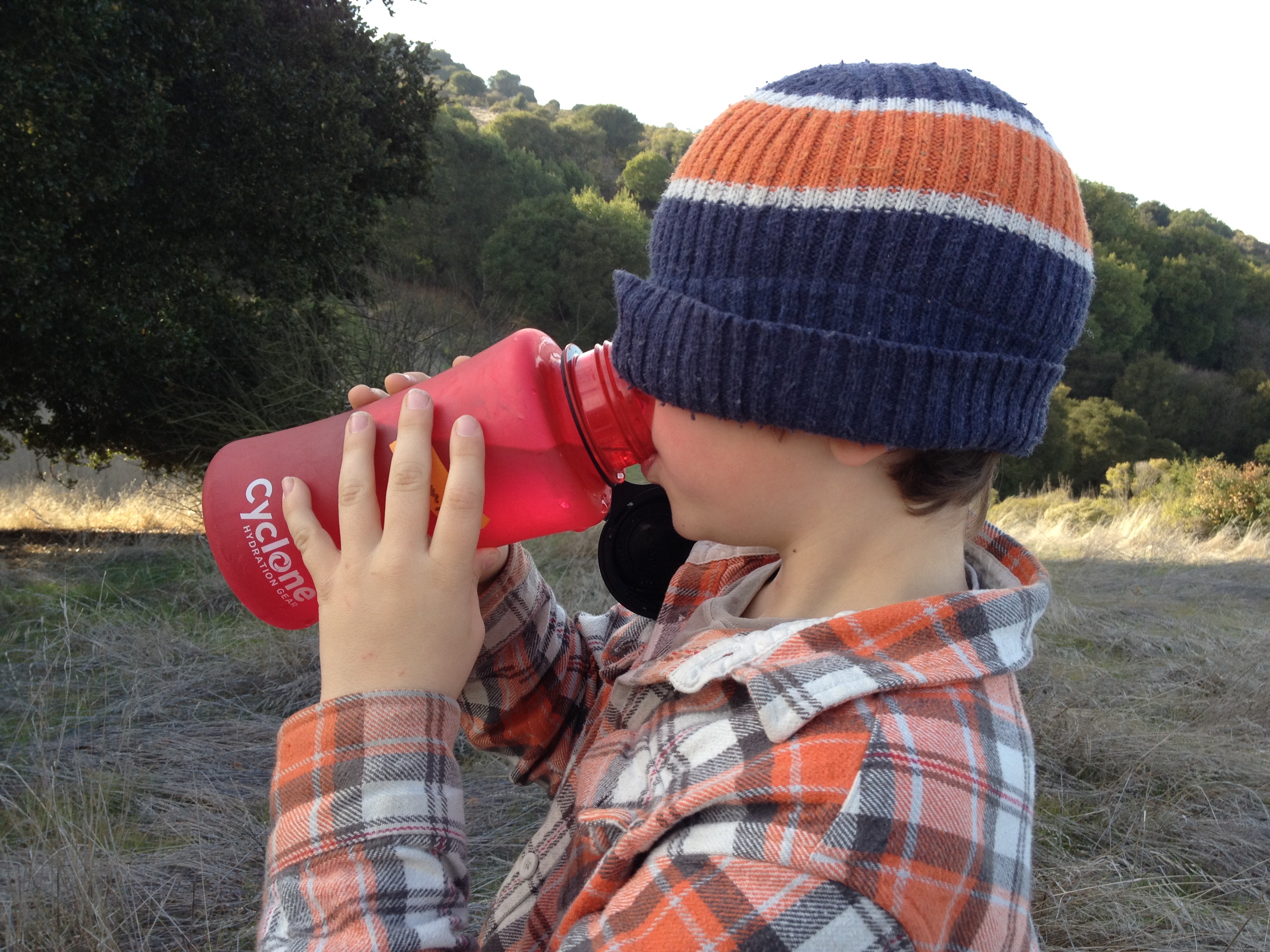
Amazing weekend in the Sierras with Miles and my parents, highlighted by a 5.4 RT hike to Lake Margaret, off Highway 88. Weather report had called for rain, but we lucked out with sunshine that morning. By the time we made it to 7,700 feet elevation, just past Kirkwood Ski Resort, the temp had dropped to 40 deg farenheit (in August!)… and I was in shorts and shirtsleeves (fortunately had a sweatshirt and pants on hand for Miles).
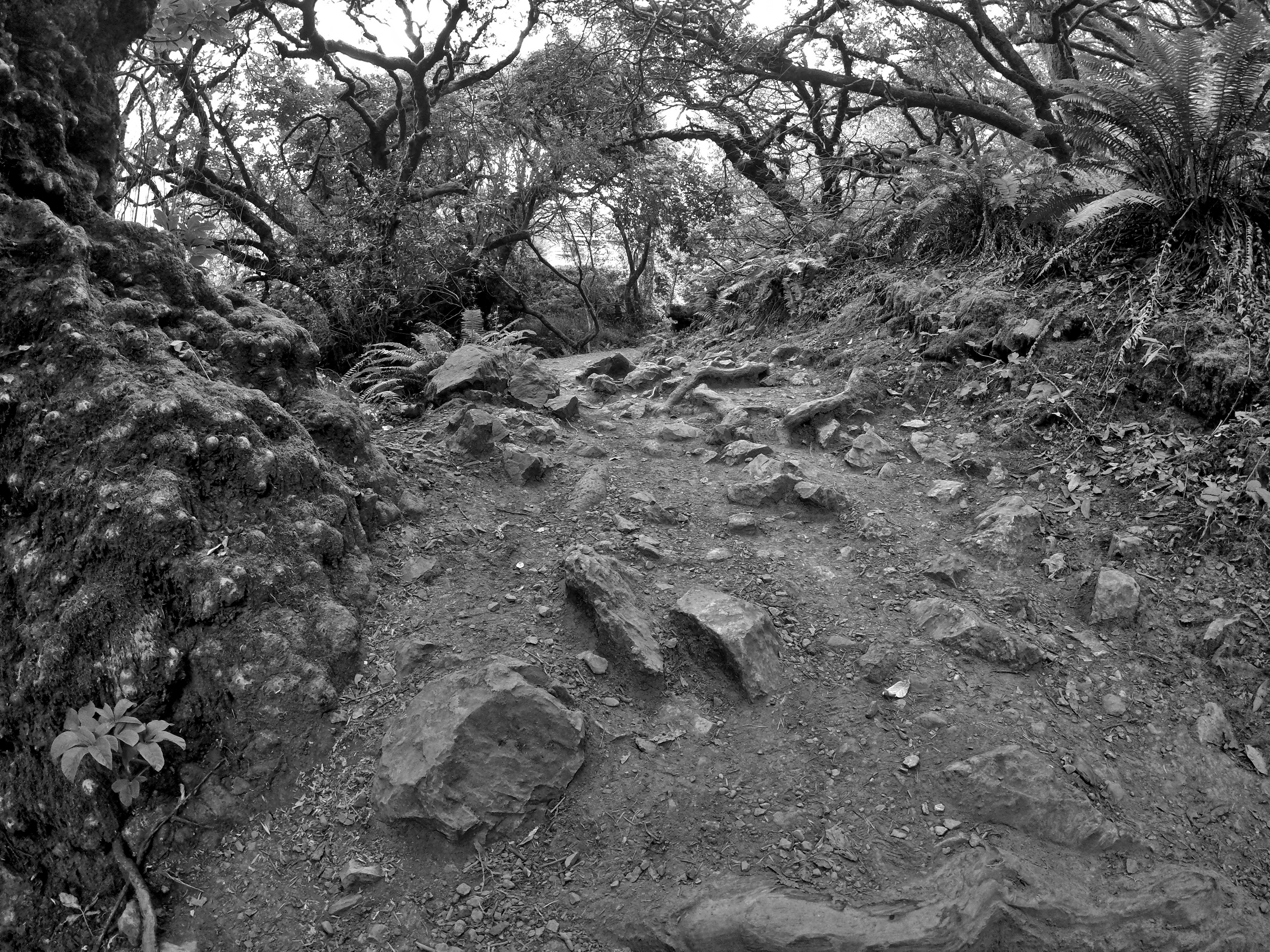
The hike is a non-stop visual barrage of geological awesomeness – trekking across great slabs of granite pushed clean by a passing glacier some tens of thousands of years ago. Ancient cypress and bristlecone pines windswept into impossible shapes, tarns left behind by glaciers melting in place, trees cut short by beavers, just like in cartoons. The round trip was about the same length and technical difficulty as the Kalalau trail we did in Kauai, but the mile-high-plus elevation did a number on us – you get tired a whole lot faster with the reduced oxygen.
Flickr set
Tracked down a couple of geocaches on the trip. As we approached the first, hail started to trickle down on us, and on my bare legs. Had to keep moving to stay warm. The second geocache was hanging in a tree on top of a great granite slap pushed up by forces you shudder to imagine. It was a level 4 terrain cache, and we spent a good bit of time talking about how serious it would be to get injured miles from anywhere, and what it would mean to get helicoptered out. We agreed not to do anything stupid, to move slowly, not make any hasty decisions. Miles got it. Still, halfway up to Dawg Years we decided to back out and not go any further… until we spotted the secret back way up to the lonely windswept pine that we were certain held the cache. From there on it was easy going, and I let Miles do the honors.
It only got colder on the way back, as we listened to thunder rippling across the valleys, signaling the start of rain. Incredibly lucky – we only got sprinkled on, but it started to pour buckets just after we got in the car.
Decided to see what the camera in the iPhone G4 was capable of, and took all of these images with it. Impressed overall, but they’re still not at the quality of images from the PowerShot. From now on, will continue to hike with the PowerShot, but will be stoked to have the iPhone on-hand for spontaneous quickies.
Elevation profile:

Unfortunately, the weekend ended badly, when Mom slipped on gravel heading down to Cat Creek, where we were planning to do some swimming in the melt water. I was 10′ in front of her when I heard the “oomph,” and turned around to see her ankle bent at a very wrong angle. Dad and I hoisted her back to the car, and she ended up in the E.R. She’ll have to have a plate installed, and will be laid up for quite a while. Best luck and love to both of them getting through this – a horrible thing to witness and it won’t be pleasant for the next month. Much love.